
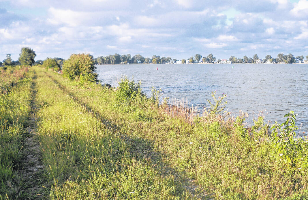
The Pipe Creek Wildlife Area in Sandusky.
Courtesy | ODNR
The Ohio Department of Natural Resources (ODNR) Office of Coastal Management has launched two new online resources to help Ohioans and visitors discover publicly accessible parklands and protected lands along Ohio’s 312-mile Lake Erie shore and along the major rivers that flow into the lake.
Developed through the Ohio Coastal Management Program, these resources include the updated Lake Erie Public Access Map Viewer and the brand-new Lake Erie Public Access StoryMap.
The Lake Erie Public Access Map Viewer is a full upgrade from the previous version. The mapping interface includes up-to-date public access and recreational information.
Users can view and toggle on/off many recreational dataset layers, including beach access, fishing access, boating access, and paddling access points, geologic and cultural points of interest, and picnicking facilities. The map viewer also highlights recreational corridors that connect Lake Erie’s public access sites, such as scenic byways, biking facilities, and water trails. Improved search functionality enhances the ability to find access sites and amenities in the map viewer, by county, waterbody, and/or name.
A “storymap” is a web-based application that allows organizations to share maps and stories in an interactive and narrative format. The Lake Erie Public Access StoryMap is a user-friendly way to explore Lake Erie’s public access sites by county and includes dynamic location maps, text narratives, and photos.
Users can scroll through the listing of public access sites while the accompanying map dynamically pans and zooms to each site location. In an expanded view, users can read more about each site and view pictures. The StoryMap is formatted for optimal use on both personal computers and mobile devices.
The Office of Coastal Management maintains up-to-date Lake Erie public access information per requirements in Ohio Revised Code and through its implementation of the federally approved Ohio Coastal Management Program.
Since 2010, the Office of Coastal Management has published and freely distributed three Lake Erie Public Access guidebooks, including the 241-page Coast Edition (2014) and 285-page Rivers Edition (2013). A fully updated guidebook is expected to be completed in 2024.
Information in this story was provided by the Ohio Department of Natural Resources.
